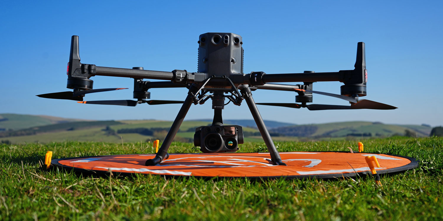
GWCT Scotland now offers professional drone-based services to support wildlife and habitat management. Using high-resolution aerial imagery and thermal technology, we provide habitat mapping, support, deer population surveys, and monitoring of species of conservation concern. Drone surveys offer an efficient, low-disturbance method for gathering detailed data over large areas, helping land managers make better-informed decisions.
All operations are conducted by trained and licensed pilots, ensuring compliance with aviation and wildlife legislation.